Back to Yakima
Last year was my first time attempting Rainshadow Running's Yakima Skyline Rim 50K. It was also the first time the thought that I might not finish a race entered into my head. I finished the brutal trail run, but it was definitely a death march the last 6 miles in to the line. I told myself: "never again." So, of course, a year later I found myself back at the Umtanum Recreation Area, ready to start the race.
"Once more unto the breach." That's all that kept going through my head. Why was I doing this again? Too late for that, though. The plan? Repeat nothing I did last year. The result would have to be better!
The Day
It was a beautiful day. It can be chilly in this part of Washington in April, but it was actually comfortable at 7 AM. This actually had me a little nervous, as it might get pretty hot later in the day. No sense worrying about that, though... can't do anything about it but drink more water.

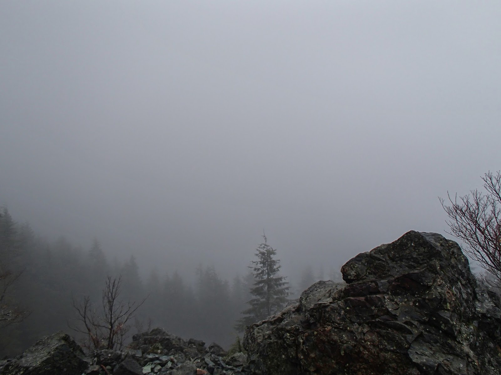
The (Terrifying) Course
It's just four climbs! Four "get your hands on the ground", never-ending climbs. People tell you that start climbing right away, and after about a quarter mile you hit some pretty decent ascents. It feels "tough, but not horrible"... and then you start the real climbs. If you can keep a good sense of humor, it's actually funny to hear the reactions of the people around. As you approach the top of the climb, you realize... it's not the top of the climb - there's a hidden summit requiring a little more pain. This course is cruel in so many ways.
One this course consistently does, though, is reward you for your hard work. The ridge run at the top of the first climb is as fun as it gets. Eventually the decent gets pretty steep. It's possible to bomb down it (I did last year), but most mortals will pay for that later (as I did last year), so I took it easy and enjoyed the ride. During the decent, you see a massive hill in the distance ahead of you. The thought that everyone seems to have is: "I'm glad we're not climbing THAT." Then, we climbed THAT.
Climb two is another tough one, but not the same caliber of the first climb. By now, the day was starting to warm up and people were getting pretty spread out. I was holding myself back to a very slow pace and kept feeling the urge to pick it up, but didn't want to burn out early. I waited till near the top of the second climb to really start moving, which was the right decision. There's another great, runnable stretch here. This was the first photo op I had with Glenn Tachiyama, so I was grateful that I wasn't suffering, yet. The decent to the turnaround point is EXTREMELY rocky and tough to run. I probably ran it faster than I should've, but downhills are my strength, so I couldn't pass up the chance to make up time (I ended up passing quite a few people here).
Great volunteers at all the aid stations, and the mid-point was no exception. There is a very brief dirt road at the bottom of the trail, which was a nice respite for my beat-up feet. Refueling done, I headed back up, up, up. These hills were no shorter the other direction.
For the most part, taking the first half of the race easier paid off: I felt strong and steady on the return trip. The final climb back up the "first" hill seems never-ending, and was the one part of the race where I cracked. It was likely some hydration issues: The temperatures are higher, the air is dryer, and the sun is brighter on the east side of the Cascades. This rain-soaked Seattlite wasn't quite adapted for that. Not that I can use geography as an issue: My fellow west-sider Dave cruised past me on the last climb like he had just started the race. Good for him... *grumble, grumble, grumble*
The race finishes with a very steep decent for 2 miles back to the finish. There are some tricky, rocky segments near the bottom. More importantly, there is delicious pizza and beer AT the bottom.
The Party
Like every Rainshadow race, there was a great party at the bottom. Lots of food and beverages (healthy and otherwise, but all delicious). It was great to share experiences and catch up with my trail running buddies that I haven't seen in a while. I told James Varner (the RD) that there was no way I'd run the race again, which I immediately followed up with telling him that I'm already looking forward to running it next year.
Results
This is a SLOW race. I managed to trim 11 minutes off of my 2013 time, but this race was still about 1 hour, 40 minutes slower than my fastest 50K. Don't go looking for a PR, but come ready to find out how hard a 50K can be.